
More rain coming over Maharashtra: Satellite captures big clouds rolling
Weather observers tracking the system say the cloud mass, which earlier hovered over parts of North India, is now shifting southward and intensifying over western India.
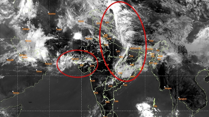

A significant spell of unseasonal rain is likely across parts of Maharashtra between March 31 and April 4, 2026, as satellite imagery reveals a massive cloud build-up advancing over the state, particularly along the Mumbai-Pune corridor.
This comes a day after heavy rains accompanied by a hailstorm hit parts of Maharashtra on Monday.
Weather observers tracking the system say the cloud mass, which earlier hovered over parts of North India, is now shifting southward and intensifying over western India. This development is expected to trigger scattered to widespread rainfall activity across key urban and hill regions.
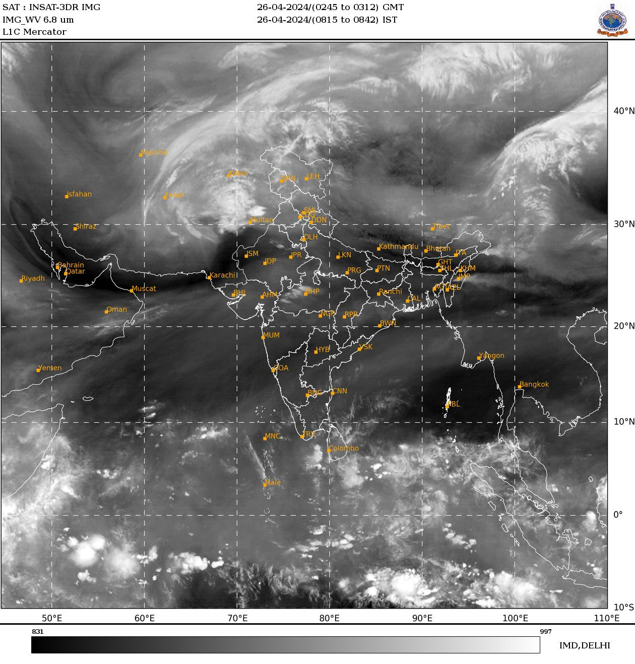
According to probabilistic forecasts, rainfall chances vary sharply across locations. Mumbai is likely to see a 20-25% probability, indicating a hit-and-miss pattern where not all suburbs may receive rain.
In contrast, nearby regions show stronger signals: Thane stands at 40%, while Kalyan and Badlapur could see around 65% chances of rainfall.
The intensity increases further towards the ghats and inland regions. Karjat is expected to receive 75–80% probability of rain, while the Lonavala-Pune stretch shows near-certainty with a striking 99.8% chance.
Pune city itself is also likely to experience rainfall with a 99.6% probability, indicating widespread showers and possible thunderstorms.
Meteorologists attribute this development to moisture incursion and atmospheric instability aided by shifting wind patterns. The Western Ghats region, including Lonavala and Pune, is particularly prone to enhanced rainfall due to orographic lifting, where moist air rises and cools over elevated terrain.
Despite strong signals inland, Mumbai’s coastal dynamics may limit uniform rainfall, resulting in patchy showers rather than a citywide event.
The evolving system highlights the dynamic nature of pre-monsoon weather patterns in the region.
Authorities and residents are advised to stay alert for sudden changes, especially in areas with higher rain probability, where brief heavy spells and thunderstorms could impact travel and daily activities.
Further updates are expected as the cloud system continues to evolve over the coming days.