
Rain shortly: Satellite images reveal duststorm, rain cloud approaching North
INSAT-3DS satellite images showed a dust storm system and fast-growing thunderclouds moving towards North India.
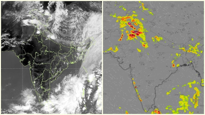

Satellite images captured by Indian Space Research Organisation’s INSAT-3DS weather satellite have revealed a duststorm system and rapidly developing thundercloud activity moving towards North India, raising the likelihood of intense evening weather across several states.
The images, monitored by the India Meteorological Department, show thick cloud bands spreading across parts of Pakistan and northwest India, while separate thunderstorm clusters intensify over the Himalayan foothills and central plains.
Meteorologists warned that strong dust-laden winds, thunderstorms, lightning, and moderate rainfall are expected to impact large parts of Punjab before advancing towards Haryana and the Delhi-NCR region later tonight.
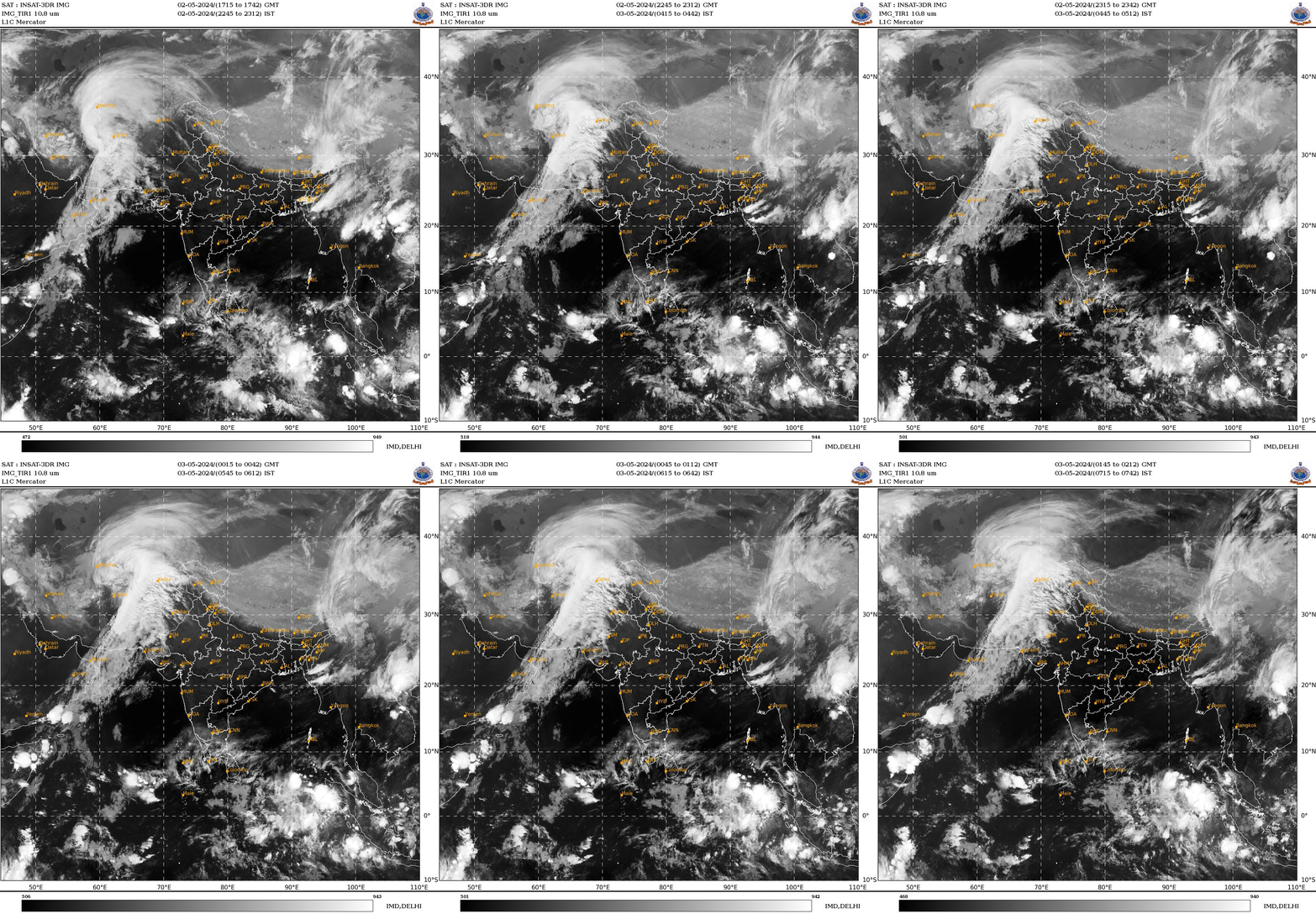
According to weather updates based on satellite observations, dust storms with wind speeds ranging between 40 and 70 kilometres per hour are expected across most parts of north and central Punjab over the next few hours.
Cities including Amritsar, Ludhiana and Jalandhar are likely to experience sudden gusty winds followed by passing spells of rain and thundershowers.
The storm system is then projected to move southeastward toward the tricity region of Chandigarh, Mohali and Panchkula between 5 pm and 8 pm.
Forecasters also indicated that additional thunderstorm cells are continuing to develop over neighbouring regions and could later impact parts of Haryana and Delhi NCR during the night.
The INSAT-3DS satellite, launched by Isro for advanced meteorological monitoring, provides high-resolution imaging of cloud systems, atmospheric moisture, storm movement, and weather disturbances across the Indian subcontinent and surrounding oceans.

The satellite plays a crucial role in helping IMD track fast-evolving weather systems, especially severe thunderstorms, cyclones, and dust storms.
The latest satellite visuals show dense cloud masses associated with strong convective activity, indicating rapidly rising warm air capable of triggering lightning and heavy rain.
Dust storms typically form when strong winds generated by thunderstorms lift loose soil and dry particles into the atmosphere, drastically reducing visibility and worsening air quality.
Weather experts have advised residents in affected regions to remain indoors during peak storm activity, avoid unnecessary travel, and stay alert for lightning and sudden wind gusts as the weather system intensifies through the evening.