
How AI helped a UP man find his ancestral home in rural India
Zahid Khan said he used Claude Cowork to trace his ancestral land in Mohammadpur, Uttar Pradesh. The workflow turned scattered Hindi land records into navigable polygons for 25 plots he could drive to.
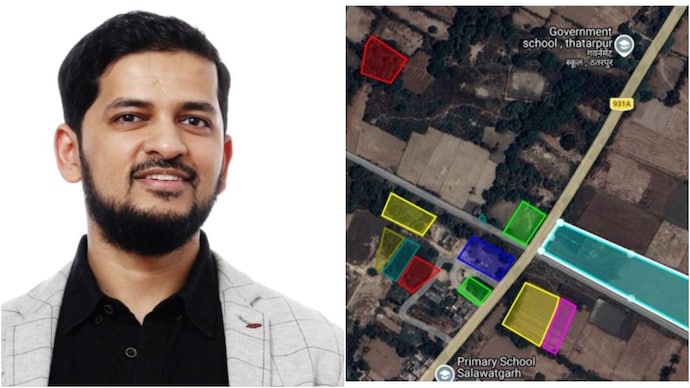
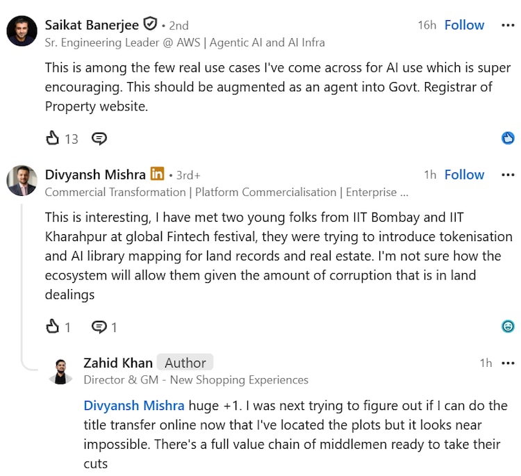
A Linkedin user shared a post about using Claude to find his ancestral home in UP. (Photo: LinkedIn)

New Delhi,UPDATED: May 27, 2026 16:40 IST
A man’s search for his ancestral land in rural Uttar Pradesh has gone viral online after he revealed how an AI assistant helped him trace and map the property with remarkable precision.
The story, shared on LinkedIn by Zahid Khan, has impressed social media users for showing how artificial intelligence can solve deeply personal and practical problems.
The user explained that the land had been passed down through generations, from his great-grandfather to his grandfather, then to his father, and finally to him. However, locating the exact plots was not easy.
“I’ve only visited that village a handful of times in my life so I wouldn’t know where to look even if I tried,” he wrote in the now-viral post.
The village, Mohammadpur in Uttar Pradesh, had digitized land records, but accessing them proved complicated. According to the caption, the records were spread across multiple government portals and written in “dense official Hindi that’s genuinely hard to parse even if you can read the language.”
That is when he decided to use Anthropic’s Claude AI assistant along with its “computer use” feature. What followed stunned many online.
The AI reportedly searched land records using his late father’s name, even typing the name in Hindi through an on-screen keyboard. It identified every plot connected to the family and extracted the corresponding Gata Sankhya, or plot numbers, from government databases.
The assistant then accessed a mapping portal to retrieve the rough geometries of the plots. In one of the most fascinating parts of the process, the AI realized that the coordinates displayed on the website were in UTM format rather than standard latitude and longitude. It then suggested creating a “shift-click tool” to capture polygon vertices across all 25 plots.
After converting the coordinates into standard map locations, Claude generated a KML file and uploaded it to Google My Maps, allowing the user to see clear navigable polygons of his ancestral land.
See the incredible post:
“In the process I went from the free tier > Pro > Max subscriptions for Claude,” the user joked.
The story has sparked widespread reactions online, with many calling it one of the most meaningful real-world uses of AI seen so far.
“This is among the few real use cases I've come across for AI use which is super encouraging. This should be augmented as an agent into Govt. Registrar of Property website,” one LinkedIn user pointed out.
“Excellent update and a real life use case,” said another.
Now, this is impressive!
- Ends