
More rain, thunderstorms to hit India today as multiple weather systems intensify
A volatile weather system is set to sweep across multiple states, bringing rain, thunderstorms and hailstorms. With peak activity expected soon, the forecast raises concerns over crop damage, travel disruption and safety risks.


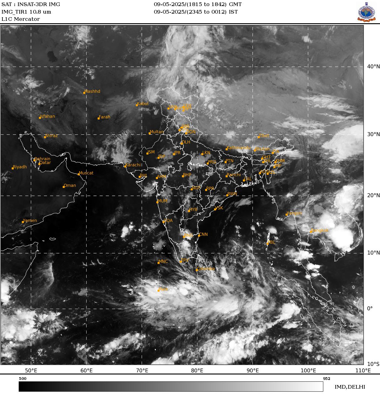
An extended spell of rain, thunderstorms and hailstorms is set to sweep across several states this week, with the India Meteorological Department warning of peak activity between April 3 and 4 as multiple weather systems converge.
The impact is expected to be most pronounced across northwest India, including Jammu and Kashmir and Himachal Pradesh, where rainfall, thunderstorms and isolated hailstorms are likely over the coming days.
The weather office said the conditions are being driven by two active western disturbances currently influencing the region. A fresh western disturbance is also expected to affect northwest India from April 2, further intensifying the ongoing spell.
ALERT FOR THUNDERSTORMS, GUSTY WINDS
Central India is also in the firing line, with thunderstorms and lightning forecast till April 6 across states such as Madhya Pradesh, Maharashtra and Chhattisgarh. Isolated hailstorm activity is likely to continue till April 2.
The IMD has warned that gusty winds could reach speeds of 60–80 kmph in some areas, raising the risk of damage.
In eastern and northeastern parts of the country, scattered to fairly widespread rainfall is expected through the week. The IMD has flagged the possibility of isolated heavy rainfall over Assam and Meghalaya on March 31 and April 1.
MULTIPLE WEATHER SYSTEMS AT PLAY
The evolving weather pattern is being shaped by a combination of atmospheric factors, including upper air cyclonic circulations over north Pakistan, southwest Rajasthan, east Uttar Pradesh and northeast Assam. Troughs and wind discontinuities extending across the subcontinent are also contributing to the instability.
CROP DAMAGE CONCERNS EMERGE
Even before the peak of the system, hailstorms have already been reported in parts of northwest India. Social media posts showed damage to standing wheat crops in areas of Haryana, north Rajasthan and parts of Punjab.
TEMPERATURE SWINGS EXPECTED
Day temperatures across northwest India are likely to remain normal to below normal till April 6. A brief rise may be followed by a gradual fall of 2–4°C.
Central and eastern regions are also expected to witness a dip in daytime temperatures before a gradual increase later in the week.
ALERTS ISSUED, CAUTION ADVISED
The IMD has issued orange and yellow alerts across multiple regions, warning of thunderstorms, lightning, gusty winds and hailstorms. Authorities have advised residents to remain cautious, especially in areas prone to severe weather.
The forecast points to a volatile pre-monsoon phase, with widespread atmospheric instability likely to shape weather conditions across large parts of the country in the days ahead.