
Standby for rain: Satellite captures big monsoon clouds approaching India
IMD satellite imagery shows monsoon cloud systems building rapidly over the Arabian Sea and Bay of Bengal as they advance towards Kerala.
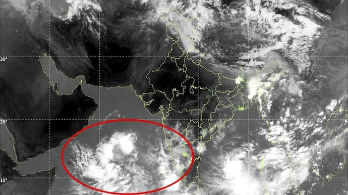

As north, central and eastern India continue to reel under a punishing heatwave, satellite images from the India Meteorological Department (IMD) are now showing the first major signs of relief, massive monsoon cloud systems are rapidly building over the Arabian Sea and Bay of Bengal and advancing toward the Indian coast.
An INSAT-3DS thermal infrared satellite image released by the IMD on Friday captured dense cloud bands stretching across the southern Arabian Sea, the Bay of Bengal and parts of the eastern Indian Ocean.
Meteorologists say the formation signals an accelerating southwest monsoon build-up that is now racing toward Kerala, the traditional gateway of the rainy season into India.
The satellite image reveals intense convective activity over both seas, with thick spiralling cloud masses feeding moisture toward the subcontinent. Particularly striking is the dense cloud concentration south of Sri Lanka and over the southeast Arabian Sea, regions crucial for the monsoon onset over Kerala.
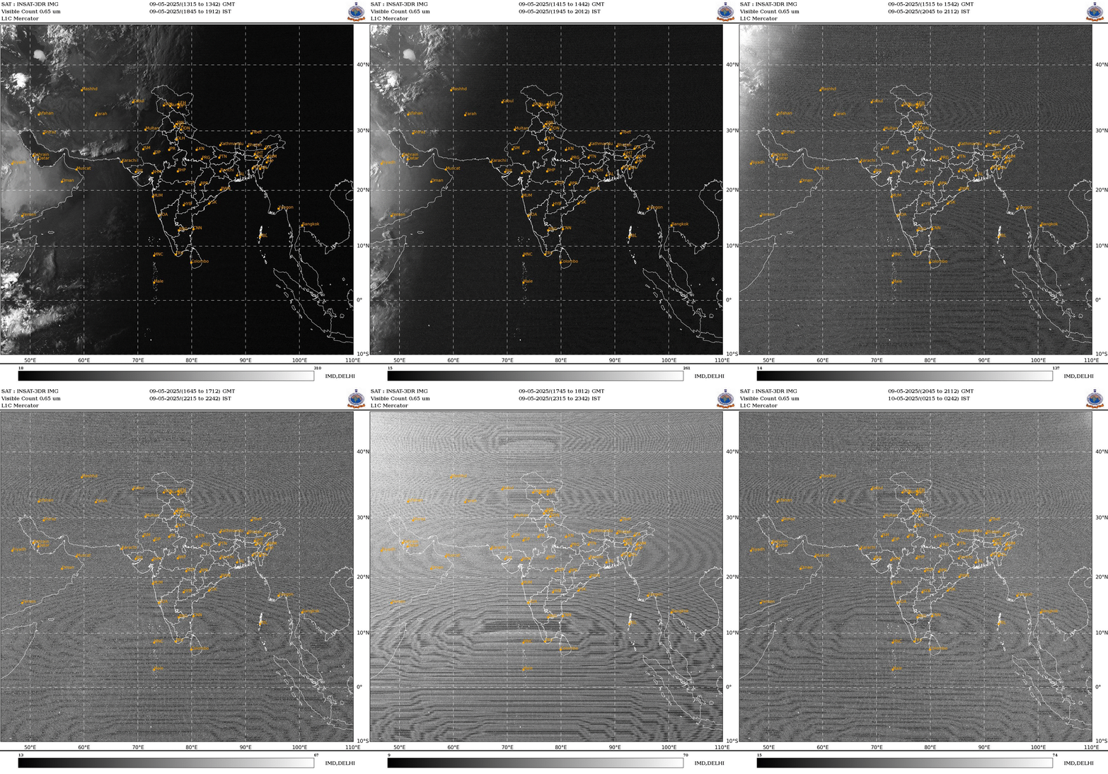
The development comes as India experiences one of its harshest early summer heatwaves in recent years. Temperatures across parts of Rajasthan, Uttar Pradesh, Bihar, Jharkhand, Chhattisgarh, Odisha and Vidarbha have crossed 45 degrees Celsius, while dozens of cities have remained trapped above 42°C for days.
Meteorologists describe the current situation as a classic “heat dome” pattern, where hot, dry air becomes locked over large parts of the country.
The absence of rainfall, combined with clear skies and persistent northwesterly winds, has intensified heating across the Indo-Gangetic plains and central India.
But the same extreme heating over the landmass is also helping pull moisture-laden winds from the Indian Ocean toward the continent, a key driver of the monsoon circulation.
The IMD satellite imagery shows strong cloud surges over the Arabian Sea moving northeastward, alongside active thunderstorm clusters over the Bay of Bengal.
These systems are expected to strengthen further in the coming days, creating favourable conditions for monsoon onset over Kerala.
Weather scientists say the cloud patterns visible in the infrared imagery indicate deep convection, meaning towering thunderclouds are rapidly rising through the atmosphere. Such formations are often precursors to widespread monsoon rainfall.
If the current progression continues, the southwest monsoon could arrive over Kerala close to or slightly ahead of its normal schedule.
From there, the rains are expected to gradually advance northward across peninsular India before spreading toward central and northern regions.
For millions enduring relentless heat, the satellite image offers the clearest signal yet that atmospheric conditions are finally shifting.