
Will it rain again today? Satellite images reveal what's bubbling in the sky
After thunderstorms brought relief from extreme heat, Delhi-NCR and parts of North India are waiting to see if there is more rain in store. Here's the latest forecast.
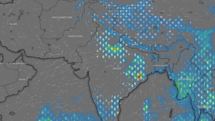

North India found much-awaited relief from extreme heat conditions on Thursday, May 28, after thunderstorms, gusty winds and rain arrived across North India, including Delhi-NCR, and parts of Rajasthan, Punjab, Uttar Pradesh and Haryana.
The night consequently reverted to being cold, day temperatures dropped, and people finally got a break from the scorching Sun.
But as we step into Friday, May 29, the big question on everyone’s mind is: will it rain again today?
CLOUDS ARE MOVING
Right now, the satellite image shows a mixed scene over India.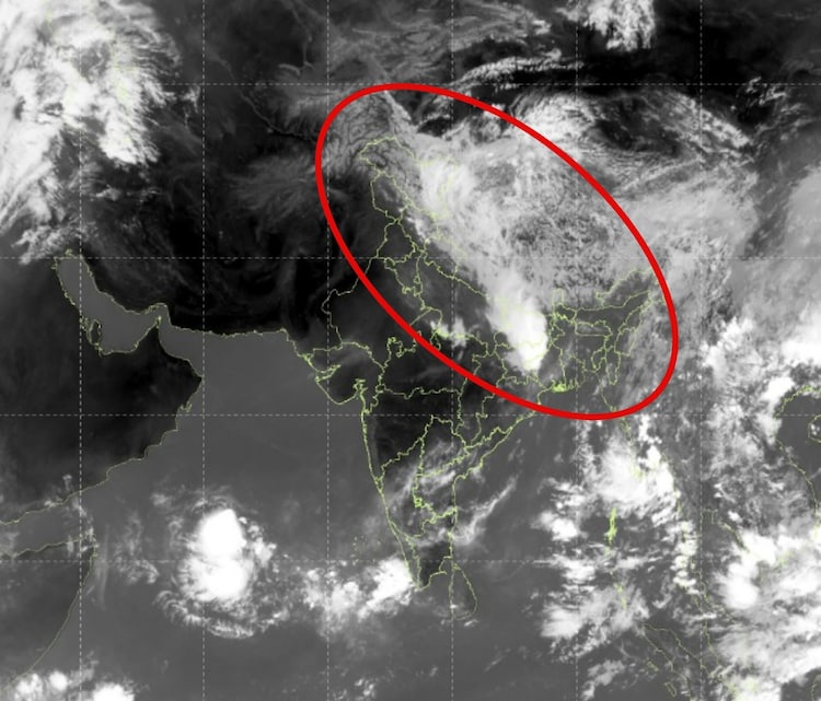
Large clusters of clouds are dominating the eastern parts of the country, especially over Bihar and Jharkhand.
These areas are already experiencing widespread intense thunderstorms as the system is beginning to slowly shift eastward, meaning West Bengal, including Kolkata, could see increased activity by this evening.
In contrast, Delhi-NCR, Haryana, Punjab, and Rajasthan look mostly clear on the map for now. The bright areas with fewer clouds suggest a relatively calm morning and early afternoon for these regions.
WILL IT RAIN TODAY?
But there's more to it.
Fresh storms are likely to develop later in the day as a new zone of cloud activity visible in the northwest part of the satellite map is expected to push southeast.
This could bring thunderstorms and rain to Delhi-NCR, Haryana, Punjab, western Uttar Pradesh, and northern Madhya Pradesh from evening into late night.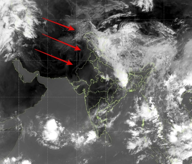
The movement is typical for this season, as weather systems often travel from west to east, picking up moisture and creating instability as they go.
While not everyone may see heavy downpours, many places could get sudden showers, gusty winds, and possible lightning.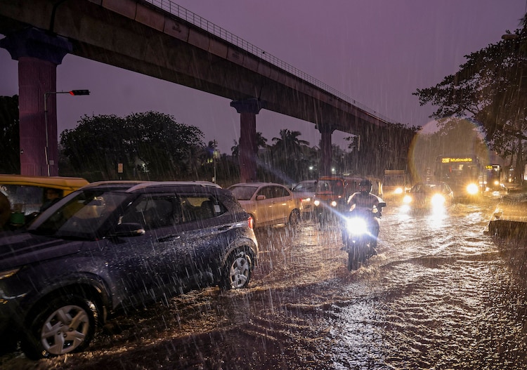
WHERE IS MONSOON?
While pre-monsoon weather activity like yesterday’s and today’s possible showers provide immediate relief, the bigger picture for India’s southwest monsoon is being watched closely.
For now, the monsoon has made an early advance in some areas, but experts are concerned about a developing El Nino in the Pacific Ocean.
This climate pattern, marked by warmer ocean temperatures, often weakens monsoon winds and can lead to below-normal rainfall across the country.
The India Meteorological Department (IMD) on Friday morning revised its monsoons forecast, and said it's now expecting around 90% of the long-period average rainfall for the season, with risks of scant rain in several regions.
The forecast ironically comes after recent years of good rains, raising worries for farmers, water reservoirs, and kharif crops.
While local thunderstorms can still bring rain in the coming weeks, the overall monsoon season may face challenges due to El Nino.
For now, however, any rain and wind is welcome as it follows a long spell of intense heat that has put North India under severe pressure. Thanks to the overcast skies and drizzling skies, that pressure has begun to ease.