

Brace up, India: Rain, hail and thunderstorms are arriving on Sunday
The IMD has issued a high alert for Delhi-NCR on Sunday, April 5, as back-to-back western disturbances trigger a risk of thunderstorms and gusty winds reaching 50 kmph.
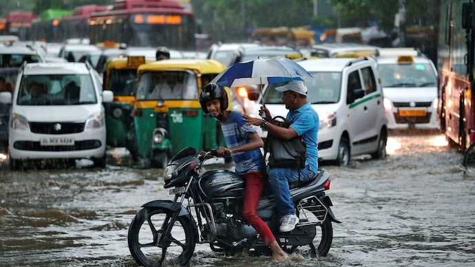
A narrow storm system is pushing in from West UP. Here is what to expect. (Photo: Reuters)

Delhi woke up to rain on Saturday. After an extremely wet Friday night across the capital, the India Meteorological Department (IMD) has warned that conditions could worsen through Sunday, with thunderstorms, gales, or strong fast-moving winds, and lightning forecast across parts of the city.
The latest assessment on Sunday morning, April 5, suggests that while the system remains active, the city may see more clouds than rain during the daylight hours.
An orange alert has been issued for South, Central and New Delhi, signalling that residents should be prepared for significant weather disruption, while a yellow alert covers southwest, west and northeast Delhi.
An orange alert means residents should be prepared for severe and disruptive weather, while a yellow alert is a watch signal advising people to stay aware of rapidly changing conditions.
The driver behind all of this is a pair of western disturbances arriving in quick succession.
The IMD forecast for today indicates a generally cloudy sky. While the chance of significant rainfall during the day has dipped to 10 per cent, there remains a possibility of thundery development or very light rain accompanied by gusty winds of 30 to 40 kmph towards the evening.
WHY IS DELHI GETTING RAIN AND HAILSTORM IN APRIL?
Two back-to-back western disturbances are affecting northwest India, with peak activity on April 3 and 4, and again on April 7.
A cyclonic circulation over northwest Rajasthan and central Pakistan is currently interacting with these disturbances, funnelling moisture into the northern plains.
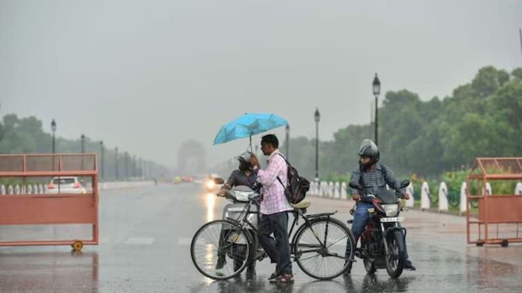
Western disturbances are large, upper-atmosphere low-pressure systems that originate over the Mediterranean and Caspian regions and travel eastward, dragging moisture across Pakistan and into the Indian subcontinent.
When they interact with the warm, dust-laden air already building over the plains in early April, they trigger rapid cloud development and, at times, hail.
WHICH PARTS OF DELHI ARE AT RISK THIS EVENING?
The current system is quite narrow, which means it is likely to miss major parts of west and north Delhi.
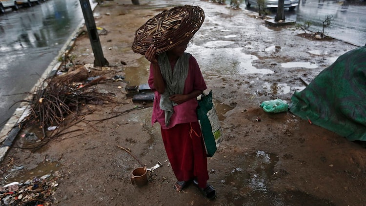
Meteorologists are monitoring the situation closely and have advised residents to keep checking the latest weather alerts.
Current satellite imagery shows the densest cloud cover shifting slightly eastward, placing Noida and Ghaziabad at higher risk for late-evening squalls compared to the rest of the NCR.
HOW BAD IS IT ACROSS NORTH INDIA?
The impact is already playing out dramatically beyond Delhi. Isolated hailstorms are expected across parts of North India, with a wet spell involving thunderstorms and lightning likely to continue across central India until April 6.
Rainfall was reported earlier this weekend at Palam (1.9 mm) and Ayanagar (5.8 mm), and the IMD has warned that states like Punjab and Haryana could see similar isolated activity today.
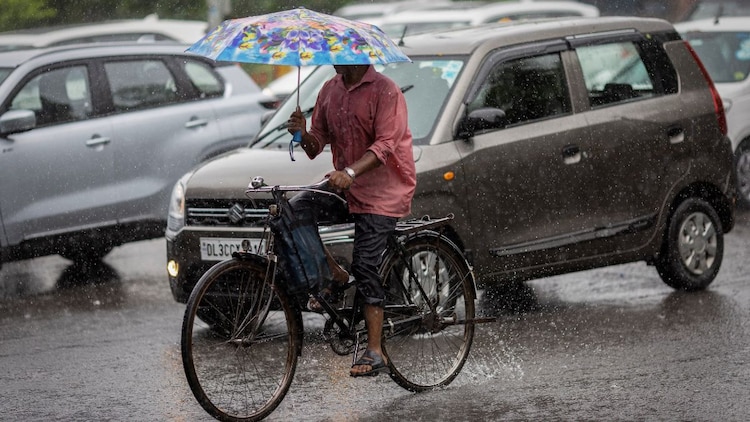
States under the system's influence include Uttar Pradesh, Punjab, Rajasthan, Haryana, Himachal Pradesh, Jammu and Kashmir, Madhya Pradesh, Gujarat, Maharashtra and West Bengal.
WHEN WILL DELHI GET ANOTHER STORM?
The brief lull that follows will not last long.
A fresh western disturbance is expected to begin affecting Delhi from Tuesday, April 7, bringing another round of storms and temperatures swinging between 18 and 29 degrees Celsius by mid-week.
This April volatility is not unusual, but it is intensifying.

Meteorologists note that the 2026 season is showing the same volatility as 2024, with late-season western disturbances arriving with greater frequency.
These conditions reflect the interaction between winter-dominant western disturbances and the approaching summer easterlies, a seasonal collision that produces sharp, short bursts of severe weather before the heat takes over entirely.
For now, that heat is on pause. After this system clears, temperatures are expected to climb and stay elevated well into May.
- Ends