
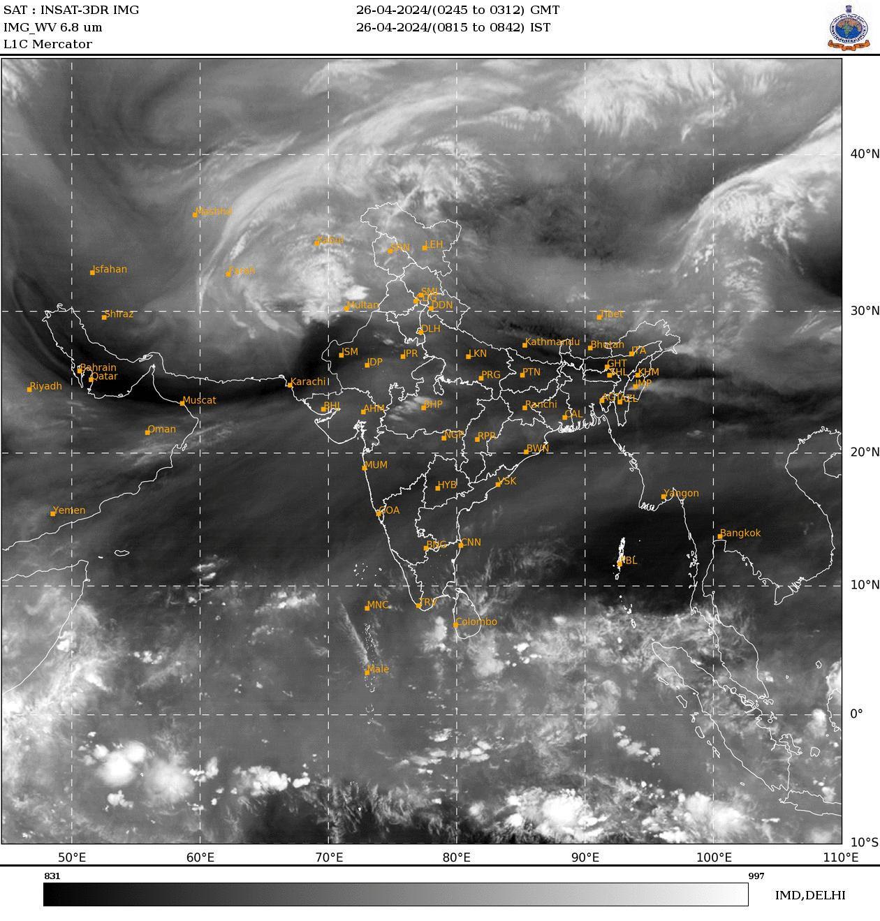
Satellite captures lone powerful thunderstorm sweeping across UP. See pics
An INSAT-3DS image showed a compact, intense thunderstorm cloud over eastern Uttar Pradesh and adjoining Bihar. The formation pointed to vigorous pre-monsoon convection.
")

An INSAT-3DS thermal infrared satellite image captured on May 13 has revealed a burst of intense thunderstorm activity over northern India, with meteorologists closely tracking a compact but powerful cloud mass hovering over eastern Uttar Pradesh and adjoining Bihar.
The striking satellite image, released by the India Meteorological Department (IMD), shows a bright white “ball-like” cloud formation embedded within a wider zone of unstable weather stretching across north and central India.
Experts say the feature is likely a deep convective thunderstorm cell driven by strong pre-monsoon heating and abundant moisture flowing into the Gangetic plains.
In thermal infrared satellite imagery, brighter white regions indicate colder cloud-top temperatures, which are typically associated with towering cumulonimbus clouds reaching high into the atmosphere.
Such cloud structures are capable of producing intense rainfall, lightning, gusty winds and even hailstorms within a short duration.
While the cloud feature appears dramatic, meteorologists say it is unlikely to be a classic thundersquall system, which generally forms as an elongated line of thunderstorms accompanied by widespread damaging winds. Instead, the compact circular structure suggests an isolated but rapidly intensifying thunderstorm cell.
The cloud top appears extremely cold and vertically developed, which indicates vigorous convection. These kinds of isolated storm cells are common during the peak pre-monsoon season across north India.
The image also highlights a broader weather system influencing the region. Extensive cloud bands linked to a western disturbance can be seen stretching across northwestern India into the Himalayan region.

At the same time, moisture incursion from the Bay of Bengal appears to be feeding instability over Uttar Pradesh, Bihar and central India.
This combination of upper-level disturbances, surface heating and moisture transport creates ideal conditions for severe thunderstorms known locally as “aandhi” systems. These storms frequently bring sudden dust storms, lightning strikes and sharp temperature drops before rainfall.
Meteorologists caution that satellite imagery alone cannot conclusively determine whether a storm qualifies as a thundersquall. Confirmation requires Doppler Weather Radar observations, ground wind measurements, lightning activity analysis and tracking the storm’s evolution over time.
The INSAT-3DS satellite, launched to strengthen India’s meteorological observation capabilities, provides high-resolution thermal and visible imagery that helps forecasters monitor fast-changing weather systems in near real time.