
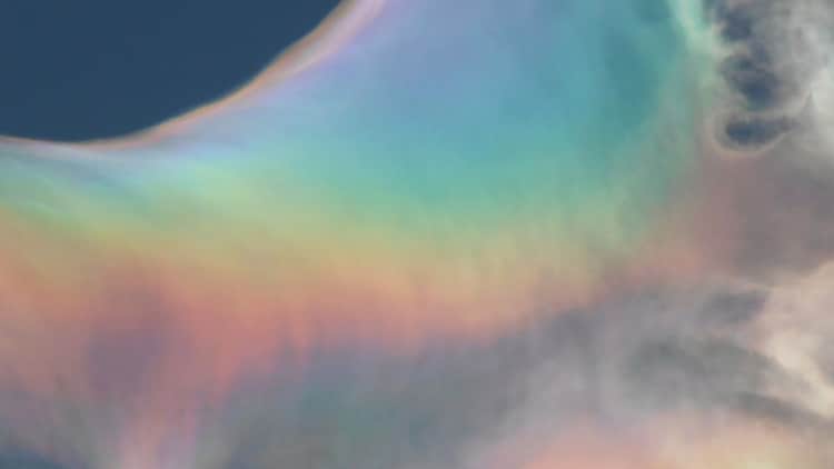
Watch: Bright rainbow clouds light up skies in Indonesia. Know the science behind
A viral video from Bogor, Indonesia, shows a rare iridescent cloud shimmering with rainbow colours. Learn the science behind this atmospheric phenomenon and how light diffraction creates these stunning visuals.
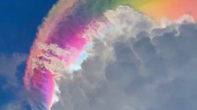
A spectacular iridescent cloud displays vivid rainbow colours over the Indonesia sky. (Photo: X/@accuweather)

The sky over Bogor, Indonesia, recently transformed into a canvas of shimmering pastel hues, leaving locals and social media users in awe. This rare sight, often called a fire rainbow by those captivated by its beauty, is actually a complex atmospheric event known as cloud iridescence.
While the visuals look like something out of a high-budget fantasy film, the science behind them is rooted in how sunlight interacts with water and ice.
WHAT ARE IRIDESCENT CLOUDS?
Cloud iridescence is a visual treat that occurs when thin clouds sit near the sun. These clouds are usually made of tiny water droplets or ice crystals of a very uniform size. When sunlight hits these uniform particles, it does not just reflect; it undergoes diffraction.
Diffraction is a fancy term for when light waves encounter an obstacle or a small opening and bend around it. As the light bends, it spreads out into its individual colours, much like how a prism creates a rainbow.
However, unlike a standard rainbow that forms a perfect arc, iridescence appears as chaotic, vivid patches of pink, green, and purple dancing across the cloud surface.
HOW DID THE INDONESIA RAINBOW CLOUD FORM?
The specific spectacle in Indonesia was linked to a phenomenon called a pileus cap. Imagine a massive, bubbling thunderstorm cloud, known as a cumulonimbus, rising rapidly through the atmosphere.

As it pushes upwards, it forces the air above it to rise and cool quickly. This creates a smooth, cap like cloud that sits on top of the storm like a crown.
This pileus cloud is the perfect stage for iridescence because its droplets are fresh and all roughly the same size. When the sun hits this cap at just the right angle, usually within 10 to 40 degrees of the sun, the light shatters into a spectrum of colours.
ARE IRIDESCENT CLOUDS DANGEROUS TO LOOK AT?
While these clouds are stunning, they can be tricky to spot because they occur so close to the sun. Looking directly at them without protection can be harmful to your eyes.

The best way to catch a glimpse is to wait for a building, a tree, or even a thick cloud to block the main glare of the sun, allowing the delicate, shimmering edges of the iridescent cloud to pop against the blue sky.
- Ends