
Weather plot twist: Western disturbance cooling Delhi-NCR may be delaying monsoon
An active western disturbance, combined with weaker monsoon circulation and cyclonic activity in the Bay of Bengal, could be delaying the onset of India's most important weather system.
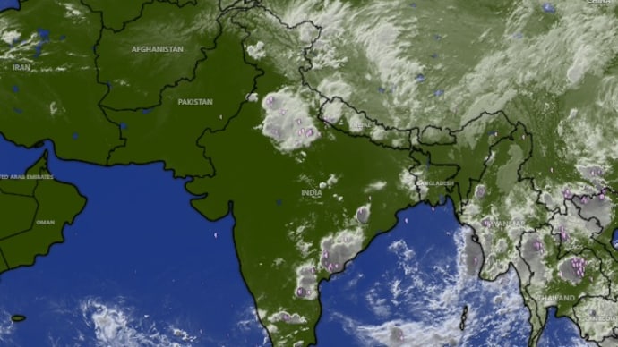

The western disturbance that swept through Delhi-NCR on Thursday evening, bringing heavy rain, gusty winds, and relief from an intense heatwave, may also be contributing to slowing down the arrival of monsoon.
The India Meteorological Department (IMD) had initially forecast the southwest monsoon onset over Kerala around May 26, earlier than the normal date of June 1. But the monsoon failed to arrive by then despite widespread rainfall over Kerala.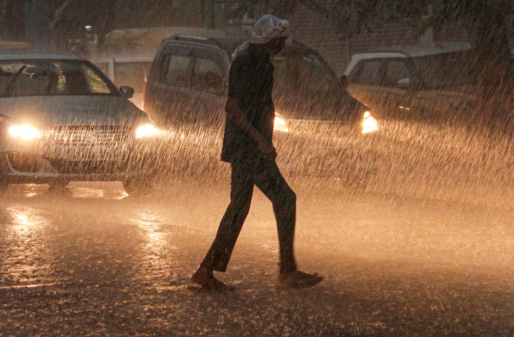
Weather forecasts now suggest that the onset could shift to around June 2–4.
The delay is being driven by several interacting atmospheric factors, including weaker circulation patterns over the Arabian Sea and cyclonic formation in the Bay of Bengal.
The active western disturbance currently affecting northern India could also be interfering with the precise setup needed for the monsoon to arrive across India smoothly.
How that arrival happens actually has a lot to do with something most Indians are fed up with: heat.
HEAT, WESTERN DISTURBANCE AND A LATE MONSOON
India’s summer heat plays a crucial role in building the monsoon.
As north-west and central India heat up through May, the land becomes much hotter than the surrounding oceans, creating a vast low-pressure zone over the subcontinent that pulls moisture-laden winds inland from the Arabian Sea toward Kerala and soon to other regions around India.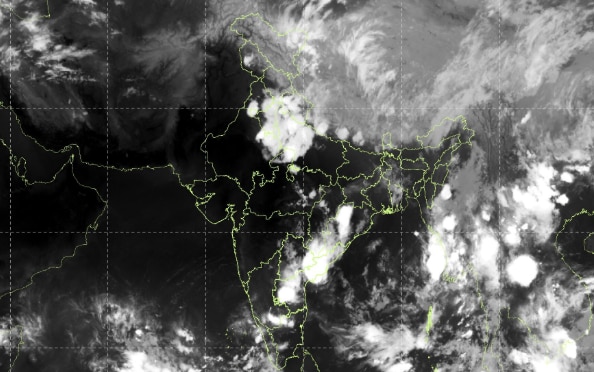
And that's exactly where the active western disturbance, which dished out relief to millions, came in.
Western disturbances are storm systems that travel eastward from the Mediterranean region into north India.
While they are most common during winter, strong late-May systems can sometimes interfere with early monsoon circulation by introducing cooler north-westerly winds that oppose the incoming monsoon flow. The description directly matches what transpired in the past day.
After days of temperatures above 45°C across north India, heavy rain and gusty winds lashed parts of Rajasthan, Haryana, and Delhi-NCR on Thursday, May 28, as the western disturbance moved in from north Pakistan. The IMD warned of thunderstorms, lightning, hailstorms and winds reaching up to 70–80 kmph across several north Indian states.
Meteorologists say this clash can temporarily weaken the pressure gradient that helps drive the monsoon inland.
RELIEF AND UNCERTAINTY
The IMD located the western disturbance on Thursday as a cyclonic circulation over north Pakistan before it moved into north-west India.
Forecast models suggest its influence could extend unusually far south over the coming days, potentially affecting circulation patterns over parts of the Bay of Bengal and the southern peninsula.
Some weather models also indicate that a low-pressure system expected over the east Bay of Bengal, which could have helped accelerate monsoon progress, may weaken or fail to organise fully.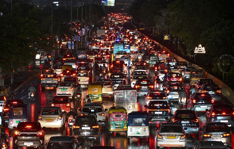
Monsoon's arrival will be delayed in either scenario.
For north India, however, the current western disturbance is bringing immediate relief from the incessant heatwave the region has faced this month.
Delhi, which recorded temperatures above 45°C earlier this week, is expected to see a sharp fall in temperatures over the next two days, with similar relief forecast across Rajasthan, Haryana and Punjab.
But this much-needed relief might have come at a price.
While the western disturbance is not the sole culprit, it is emerging as one potential important factor behind the monsoon’s late arrival.